
Geolocating an image when the metadata is gone
By the time an image reaches an analyst its EXIF is usually gone, stripped by a platform, removed on purpose, or never written. Geolocation treats that as the starting point, not a dead end. The frame still carries its coordinates, encoded in physics and geography rather than a header.
Every frame is a set of constraints
The method is not to recognise a place, it is to rule places out. Each visual cue is a constraint, and the answer is whatever location survives all of them at once.
- Terrain and horizon. A ridgeline silhouette matched against a global elevation model collapses the search from a planet to a few basins.
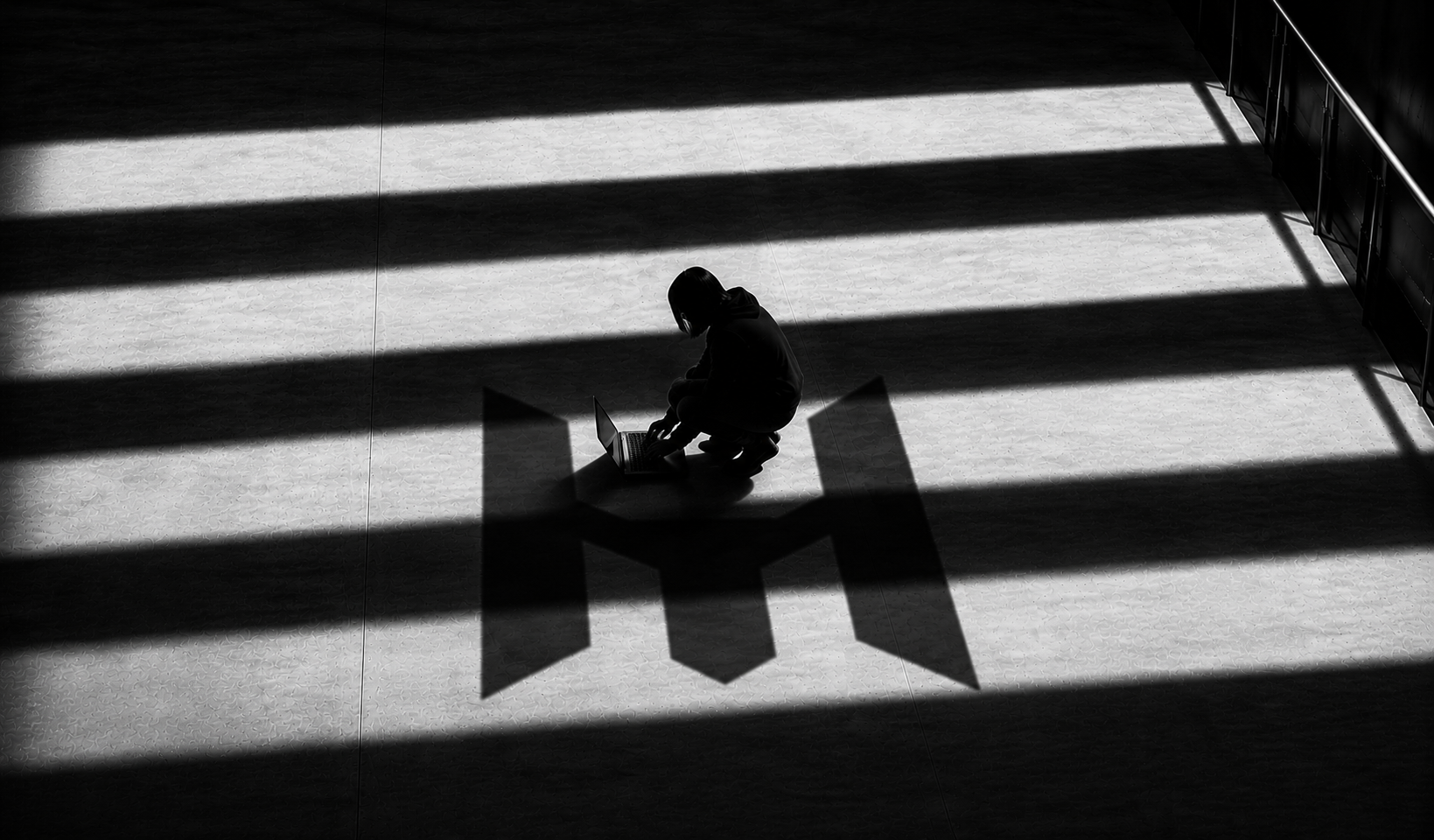
- Sun and shadow. Shadow direction and length fix the sun's azimuth and elevation, which in turn constrain latitude and the hour.
- Built environment. Road widths, roof forms, pole spacing and lane markings are regional fingerprints, often more specific than a sign.
- Text and symbols. A script, a plate format or a utility logo can move the estimate a thousand kilometres in a single step.
Fusion, not a single clue
No cue is decisive alone. Each votes with a confidence, and the votes are intersected on the map. Where they agree the estimate tightens; where they conflict the search widens instead of guessing.
A location is not a pin. It is a pin with an honest radius, and the evidence that drew it.
That radius is the deliverable. Every result ships with an error band and the cue trail behind it, so a finding can be checked, defended, or rejected, not merely trusted.