
Disaster Response
When minutes matter, see the whole picture first.
Floods, earthquakes and wildfires redraw the map in hours. HISAR compares fresh imagery against the world as it was before the event to map damage fast, so responders send help to where it is needed most.
Why it matters
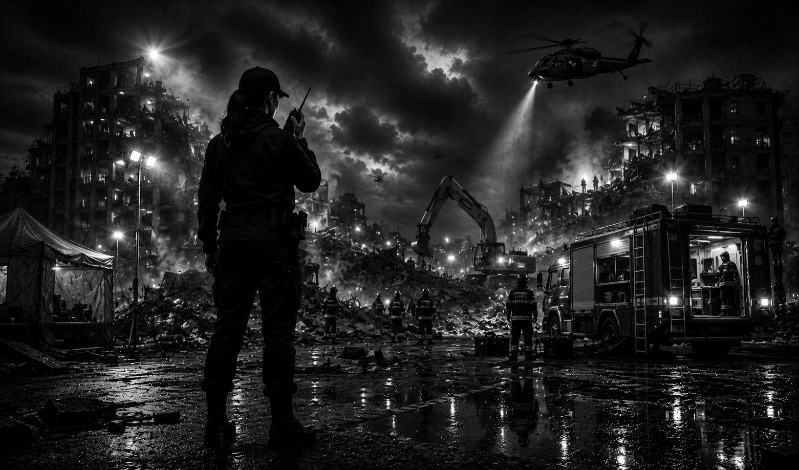
In the first hours of a disaster, information is the scarcest resource of all. Roads are cut, communications fail, and need outruns the teams on the ground. Overhead change detection gives coordinators a fast, objective picture of what was hit and how hard, before crews can physically reach it, so the response starts informed instead of blind. In a crisis, that speed is measured in lives.
Rapid damage mapping
Detect destroyed and damaged areas by comparing before and after passes.
All-weather coverage
See through cloud and at night with radar so the picture does not wait for clear skies.
Access & routing
Identify blocked roads, flood extent and safe approaches for crews.
Resource prioritization
Direct limited teams to the hardest-hit zones first.
Put HISAR to work in Disaster Response.
Tell us the area you want to monitor and what you need to find, and we will turn coordinates into answers you can act on.