
Defense & Intelligence
Decision advantage from every pixel.
Modern operations turn on knowing what changed, where, and when. HISAR converts raw satellite passes and field imagery into geolocated, time-stamped intelligence your analysts can act on, not another archive to scroll through.
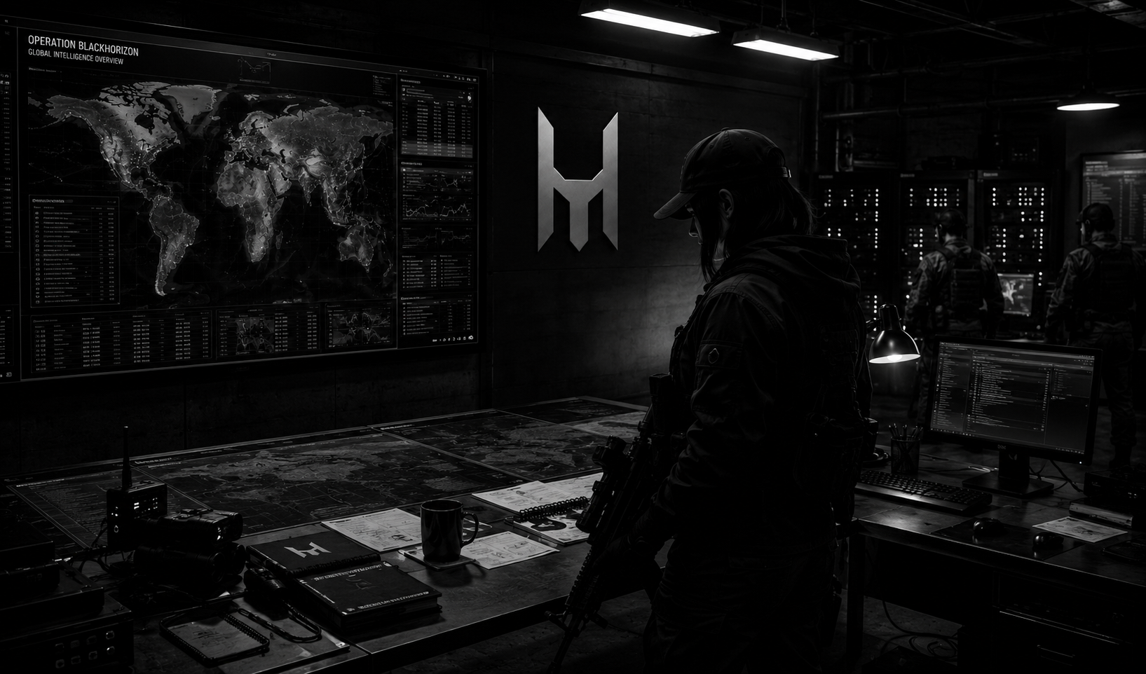
Why it matters
Adversaries move under cover of darkness, weather and deception, and a single analyst cannot watch an entire theater frame by frame. Tasking is scarce and the clock is unforgiving. HISAR closes that gap: it fuses repeat imagery with open-source visuals and surfaces change automatically, so attention goes to what actually moved instead of the hundreds of scenes that did not. The result is persistent awareness and a faster, better-evidenced decision cycle.
ISR & persistent monitoring
Watch facilities, borders and staging areas across repeated passes and get alerted the moment something appears, moves or disappears.
Battle damage assessment
Compare before and after imagery to quantify effects within minutes, with the exact frames that prove the finding.
Image geolocation
Pin a photo or video with no metadata to a point on the map from terrain, skyline, signage and shadows alone.
Pattern of life
Build a baseline of normal activity so genuine anomalies stand out the moment they occur.
Put HISAR to work in Defense & Intel.
Tell us the area you want to monitor and what you need to find, and we will turn coordinates into answers you can act on.